Daniel T.C. LaPoint, PLS (1975 - 2008)

Daniel T.C. LaPoint, PLS 1183 worked for the City of Portland Engineering Department in the 1970s. During that time he did many surveying projects on his own for small lots in Portland, as well as many street sidelines. Around 1981, Mr. LaPoint started to work for himself performing Boundary Surveys out of his home in Gray. In 1995, he move his Land Surveying practice to Durham. Mr. LaPoint’s geographical areas of focus include Cumberland, Durham, Gray, New Gloucester, North Yarmouth, Portland, Pownal, Raymond, and Windham; however, Dan’s records extend from southern York County to central Maine.
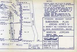
Records on file at Maine Boundary Consultants include Survey Maps and Plans, Worksheets, Reports, Folders, Deed Research, and field notes. Some of Mr. LaPoint’s later Boundary Survey Maps and Plans are also stored and accessible on digital files. Daniel T. C. LaPoint survey records here at Maine Boundary Consultants consist of 1,200± Project Files, and over 1,000 Boundary Surveys, between the mid 1970s to 2008.